
Hire The Best Remote Sensing Tutor
Top Tutors, Top Grades. Without The Stress!
10,000+ Happy Students From Various Universities
Choose MEB. Choose Peace Of Mind!
How Much For Private 1:1 Tutoring & Hw Help?
Private 1:1 Tutors Cost $20 – 35 per hour* on average. HW Help cost depends mostly on the effort**.
Remote Sensing Online Tutoring & Homework Help
What is Remote Sensing?
Remote sensing is the science of acquiring information about Earth or other objects without physical contact, typically through sensors mounted on satellites, aircraft, or UAV (Unmanned Aerial Vehicle). It uses electromagnetic radiation, radar, LiDAR (Light Detection and Ranging) to detect and monitor environmental changes. For example, mapping deforestation from space.
Also called Earth observation, satellite imagery, aerial surveying, remote imaging, geospatial imaging, or airphoto analysis.
Key subjects include sensor technology and platform design (satellites, planes, drones), the electromagnetic spectrum and its interaction with matter, image processing and enhancement, classification algorithms, radiometric and geometric corrections, data fusion techniques, LiDAR and hyperspectral imaging, UAV-based photogrammetry, and integration with GIS (Geographic Information System). Practical applications range from crop health monitoring to urban sprawl analysis and disaster management using real‑time satellite data. It have become essential in modern mapping.
1858: first aerial photograph by Gaspard-Félix Tournachon (aka Nadar) taken from a tethered balloon over Paris. 1903–1914: early military aerial reconnaissance in World War I. 1946: V-2 rockets capture vertical images of Earth’s surface. 1957: Sputnik launch marks dawn of space‑based remote sensing. 1960: launch of TIROS weather satellite. 1972: LANDSAT‑1 (formerly ERTS‑1) begins systematic Earth imaging. 1986: first civilian Synthetic Aperture Radar (SAR) mission. 1999–2000: IKONOS and QuickBird deliver high‑resolution commercial imagery. 2000s: UAVs and cubesats democratize access to remote sensing data.
How can MEB help you with Remote Sensing?
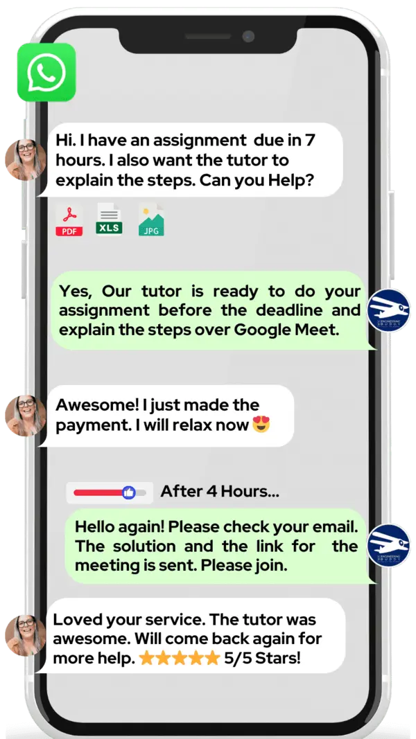
Do you want to learn Remote Sensing? At MEB, we offer one-on-one online Remote Sensing tutoring. Our tutors help students with homework, lab reports, live tests, projects, essays, dissertations (big research papers), and more. You can get help 24 hours a day, 7 days a week. We prefer WhatsApp chat. If you don’t use WhatsApp, email us at meb@myengineeringbuddy.com
Most of our students are from the USA, Canada, the UK, the Gulf, Europe, and Australia. Students ask for help when a subject is hard, when there are too many assignments, or when questions and ideas are tricky. They also ask when they have health or personal issues, part-time work, missed classes, or when they cannot keep up with their professor.
If you are a parent and your ward is having trouble, contact us today. We will help your ward get top grades in exams and homework.
MEB also offers help in over 1000 other subjects. Our expert tutors will make learning easier and help you do your best with less stress.
DISCLAIMER: OUR SERVICES AIM TO PROVIDE PERSONALIZED ACADEMIC GUIDANCE, HELPING STUDENTS UNDERSTAND CONCEPTS AND IMPROVE SKILLS. MATERIALS PROVIDED ARE FOR REFERENCE AND LEARNING PURPOSES ONLY. MISUSING THEM FOR ACADEMIC DISHONESTY OR VIOLATIONS OF INTEGRITY POLICIES IS STRONGLY DISCOURAGED. READ OUR HONOR CODE AND ACADEMIC INTEGRITY POLICY TO CURB DISHONEST BEHAVIOUR.
What is so special about Remote Sensing?
Remote sensing stands out in the field of Geomatics because it collects information about Earth’s surface from afar, using satellites, drones or aircraft sensors. This non-invasive approach captures large areas quickly, day or night, and in many wavelengths beyond visible light. Its unique ability to monitor changes over time and in hard‑to‑reach places sets it apart from traditional on‑ground surveying methods.
Compared to other Geomatics subjects, remote sensing offers fast, cost‑effective mapping over vast regions and regular updates without sending field crews. It also integrates easily with GIS for analysis. However, it can be limited by cloud cover, sensor costs, and complex data processing skills. Accuracy may vary with resolution and atmospheric conditions, making ground truthing still necessary.
What are the career opportunities in Remote Sensing?
After a bachelor’s in geomatics, geography or environmental science, students can earn a master’s in remote sensing, GIS or geospatial science. They can also take online certificates from NASA or ESA and join research programs leading to a PhD.
Common roles include remote sensing analyst, GIS specialist and drone operator. They process data and interpret satellite or aerial images, create detailed maps, monitor land‑use changes, support disaster response and precision farming, then deliver reports to guide planning.
We study remote sensing to measure and understand Earth’s surface. Test prep builds skills in image processing, sensor technology and data analysis. This training supports certifications like ASPRS, readying students for advanced degrees or geospatial jobs.
Remote sensing applies to agriculture (crop health monitoring), forestry (deforestation tracking), urban planning, water management, disaster response and climate research. It offers wide‑area coverage, frequent updates, cost‑effective data and non‑invasive methods. This helps improve resource use, planning and environmental protection.
How to learn Remote Sensing?
Start by grasping the basics of how remote sensing works: learn what electromagnetic waves are and how satellites or drones capture images. Follow these steps: a) take an introductory online course or watch free videos, b) study key concepts like resolution, spectral bands and image classification, c) install free software (QGIS or SNAP) and run simple exercises, d) practice by downloading public data from sites like USGS EarthExplorer, e) build small projects (map land use, vegetation health) to solidify your skills.
Remote sensing involves physics, math and computer work, so it can feel challenging at first. Once you get comfortable with core ideas—how sensors collect data and how software processes images—it becomes much easier. Regular practice, clear examples and small hands‑on projects will help you overcome the initial learning curve.
You can definitely learn remote sensing on your own using online tutorials, books and open‑source software. However, a tutor can guide you, answer doubts quickly and help you avoid common mistakes. If you prefer a more structured path or want fast feedback, working with an experienced tutor can speed up your progress.
At MEB we offer 24/7 one‑on‑one tutoring in remote sensing and related subjects. Our tutors tailor lessons to your skill level, guide you through assignments, explain tough concepts in simple language and provide sample datasets for practice—all at affordable rates and on a schedule that works for you.
For someone starting from zero, expect to spend about 3–6 months studying part‑time (5–10 hours per week) to reach a comfortable working level. If you’re simply prepping for an exam, a focused 4–8 weeks of review and practice should help you get a good score.
YouTube: “NASA’s ARSET”, “GISGeography”, “Remote Sensing Tutorial by NCCS”. Websites: NASA ARSET (arset.gsfc.nasa.gov), USGS EarthExplorer, QGIS Training Manual (docs.qgis.org). Books: Remote Sensing and Image Interpretation by Lillesand et al.; Introductory Digital Image Processing by Jensen; Fundamentals of Remote Sensing by Jensen; Remote Sensing of the Environment by Campbell. These cover theory, practical exercises, software guides, and real data analysis to build solid skills.
College students, parents, tutors from USA, Canada, UK, Gulf etc. — if you need a helping hand, be it online 1:1 24/7 tutoring or assignment support, our tutors at MEB can help at an affordable fee.


